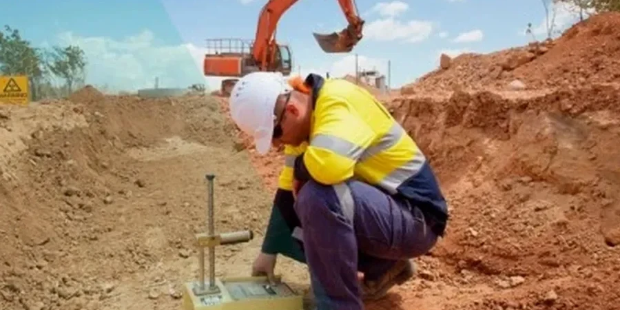
Sheffield sits on a varied geology that shifts from Carboniferous Millstone Grit on the western moors to alluvial clays and sands along the Don Valley. The British Geological Survey records a long history of minor seismic events across South Yorkshire, and while large quakes are rare, the combination of soft basin sediments and old mine workings demands a careful look at site response. Seismic microzonation maps these variations in shear-wave velocity and ground amplification so that foundation design reflects real local conditions instead of a generic hazard figure. We run VS30 profiling with MASW across full site footprints and calibrate against borehole logs where needed. For sites near the Sheffield fault zone or over shallow coal measures, the data feeds directly into EC8 ground type classification and informs whether a liquefaction analysis is warranted below the water table.
A generic ground type can miss a 4-metre soft clay lens that doubles short-period amplification — microzonation catches it before the concrete is poured.
Local geotechnical context
Sheffield expanded rapidly during the steel era, filling the Don and Sheaf river corridors with made ground that often contains slag, ash and demolition rubble. This unconsolidated layer, sometimes five to eight metres thick, sits directly over natural alluvium and can amplify even low-magnitude tremors in a frequency range that matches mid-rise buildings. Microzonation without accounting for this fill layer produces a misleading ground type. We intersect it with test pits, CPT soundings and velocity measurements so that the amplification model reflects the actual impedance contrast — not a textbook profile. The result is a seismic design that respects the industrial legacy of the city without overspending on unnecessary ground improvement.
Questions and answers
How much does a seismic microzonation survey cost for a typical Sheffield site?
For a site of 0.5 to 2 hectares, a complete microzonation package including MASW grid, downhole calibration and EC8 ground type map generally falls between £3,200 and £15,180. The spread depends on line spacing, number of downhole logs and whether a site-specific response spectrum is needed.
Do I need microzonation if I am only putting up a two-storey steel frame on firm ground?
If the site is on well-documented Millstone Grit and the borehole log confirms rock at shallow depth, a full microzonation may not be necessary. But if you are anywhere near the Don Valley corridor or on mapped made ground, even a low-rise structure benefits from knowing the actual ground type — it often changes the design spectrum and can reduce foundation costs.
How long does the field campaign and reporting take?
Fieldwork for a standard grid takes three to five days, plus another 10 to 12 working days for processing, dispersion analysis and report drafting. Rush delivery can be arranged when the piling contractor is waiting for the ground parameters.