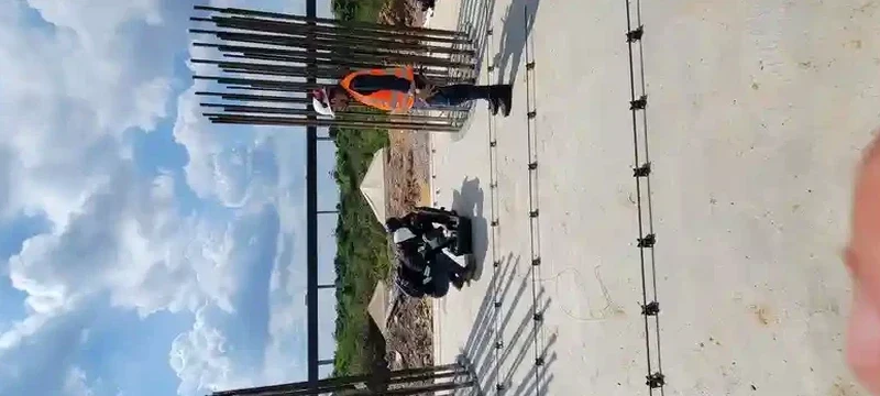
Sheffield sits on a complex mix of Carboniferous sandstones, shales, and alluvial drift. The city's hillsides and river valleys create abrupt transitions in ground stiffness, which directly affect site classification under Eurocode 8. A standard SPT or CPT log will not give you Vs values. The Multi-channel Analysis of Surface Waves, or MASW, measures shear wave velocity directly without drilling. Our team has run lines across former steelworks on the Don Valley and on steep sloped sites in Crookes and Walkley. We pair the MASW method with seismic refraction where bedrock depth matters. The output is a 1D or 2D Vs profile that feeds straight into the VS30 calculation required by BS EN 1998-1:2004.
MASW gives us a continuous Vs profile across a site without a single borehole. For Sheffield's variable drift thickness, that is a budget and safety advantage.
Local geotechnical context
Sheffield's population exceeds 580,000, and many terraced housing blocks sit on steep slopes cut into weathered shale. The last significant UK seismic event, the 2008 Market Rasen earthquake, produced shaking intensities of IV–V EMS across South Yorkshire. Site amplification in soft alluvial pockets along the Sheaf and Don valleys can raise that intensity locally. Without a measured VS30, the default ground type assumptions in Eurocode 8 penalise the design spectrum. A site classified as Type D or E increases design base shear by 20–40%. MASW testing resolves this. We map the transition from stiff to soft ground across the footprint, so the structural engineer uses a realistic, site-specific response spectrum. For sites near the old steelworks, buried slag fills create low-velocity layers that only a surface wave survey catches efficiently.
Questions and answers
How much does a MASW survey cost for a standard residential plot in Sheffield?
For a single-building plot, a MASW survey with VS30 classification typically runs between £1,200 and £2,220, depending on the number of lines, access constraints, and whether passive recordings are required to reach deeper targets.
Do you need traffic management to shoot a MASW line on Sheffield roads?
If the line runs along a public highway, yes. We coordinate with Sheffield City Council for permits and traffic management. On private land or closed sites, we work without restrictions. We always check utility plans before deploying geophones.
What depth can MASW reach in Sheffield's geology?
Active source (sledgehammer) reliably reaches 25–30 m in mudstone and sandstone. Adding passive ambient noise recording extends the profile to 60 m or more, which covers the 30 m required for VS30 calculation and deeper if needed for site response analysis.
Can MASW replace boreholes for site classification?
For VS30 and NEHRP class, MASW is the preferred method under Eurocode 8. It does not replace boreholes for soil description or sampling. We recommend pairing MASW with at least one exploratory hole to ground-truth the velocity model, especially in Sheffield's made ground.